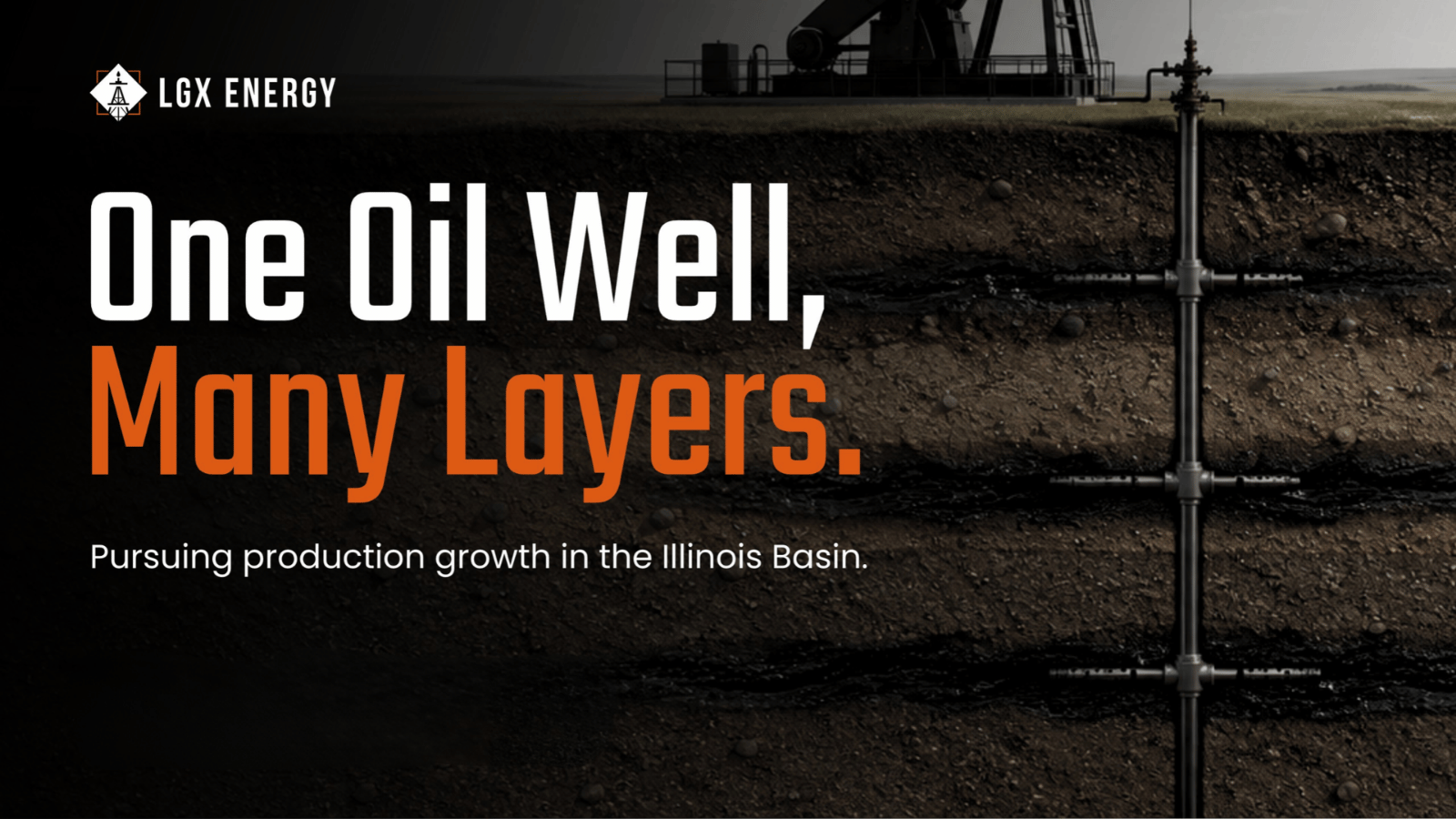
Picture an oil well as a single shot at a single target, and you have the version most people carry in their heads. Drill, hit or miss, move on. The ground under parts of the Illinois Basin works differently. Here, one vertical borehole can pass through a whole column of oil-bearing formations, each a potential producer in its own right. Geologists call it stacked pay. For anyone trying to understand how LGX Energy approaches the acreage it works, that is the right place to start.
A Column, Not a Point
Under the four southwestern Indiana counties where LGX operates, the oil sits in layers. Near the top, the Carper Sand appears around a thousand feet down. Below it runs the Devonian limestones, the North Vernon and the Jeffersonville, then the Geneva Dolomite. Further down lie the Trenton, the formation at the center of Indiana's original oil-and-gas boom in the late 1880s, then other prospective formations including the Black River, St. Peter Sand, and Knox formations near four thousand feet. These are formations that are known to yield oil from historical fields in the surrounding region. What makes this area worth a second look is how many of them stack within reach of the same drilling sites.
"It's called stacked pay horizons," LGX Executive Chairman Howard Crosby says. A parcel of Indiana farmland can hold several of these layers beneath it, one above the next.
How Productive Is This Ground?
The regional record is public, and it is deep. Southwestern Indiana has produced roughly 388 million barrels of oil from 259 fields across eleven formations, close to 70 percent of the state's total output since the first Indiana field came in during the mid-1800s.1 For scale, Indiana has yielded around 550 million barrels over that span.1
That same record is where stacked pay stops being theory. Indiana's Division of Oil & Gas counts more than 900 individual reservoirs across roughly 500 fields in the southwestern counties, with productive rock generally between 1,000 and 3,000 feet down. The state notes that a single field there can hold as many as 25 reservoirs, separated vertically or laterally.2 Layered production is the normal condition in this basin, not a lucky exception.
The near-surface Devonian zones sit inside that history. The Muscatatuck Group, which covers the North Vernon, Jeffersonville, and Geneva formations, is one of the region's producing intervals, and state geologists single out the Geneva Dolomite for the strongest porosity of the three.1 These are the shallow targets LGX targets for drilling and development, and they carry the longest local track record.
One caution stated plainly: these figures describe the basin's past. They come from public geological and state records, not from LGX. They are not company reserves, and they do not indicate what any LGX well will produce.
Why the Layering Matters
The appeal comes down to arithmetic any investor can follow. Reaching depth is the costly part of drilling. When more than one target sits along the path the drill bit already travels, multiple discoveries can be made with one well bore. Each additional pay zone is a chance at additional production that can utilize existing infrastructure to develop, enhancing economics and reducing risks for finding new oil reserves. A well that finds oil in a Devonian layer may find multiple shallower formations that can be developed, and still have deeper prospects underneath to drill and develop.
LGX Energy only drills with advanced 3D seismic data to pinpoint drilling targets. Its geoscience team utilizes 3D data to map out the stacked pay potential prior to drilling any wells for prospective new oil fields.
None of that assures a given well produces from a given zone. Plenty of holes have come up dry in prior drilling efforts; however, LGX expects that 3D seismic will greatly improve the success rates in finding oil with new wells. There are always drilling risks in developing oil fields, and reaching a formation is separate from producing oil from it. What the layered structure gives an operator is more potential returns than just the primary targeted oil reservoir from a single well, which is a different starting point than betting everything on one horizon.
Seeing the Layers Before Drilling
Knowing the layers exist is not the same as knowing where to put a well. That is where LGX relies on 3D seismic. Wireless geophones collect subsurface data that is processed into three-dimensional images, mapping the structural and porosity traps and fault lines that are known to pinpoint oil traps. LGX is focused on drilling in a proven oil producing trend and has extensive seismic data over historical oil fields, giving the advantage of having analogs for new, undrilled, seismic-based prospects and what is likely to be new oil reservoirs.
Crosby points to a prospect the company calls Ashborough. Two-dimensional seismic data, which is limited in imaging, pointed to one likely drill site. The 3D image showed that site was a gap between three distinct structures. Drilling the original target would have meant a dry hole. 3D seismic lowers the uncertainty about what waits below. It does not erase it, and no imaging guarantees a well will produce.
What Is Proven, and What Is Not
Candor about the layers matters as much as enthusiasm for them. LGX's drilling program rests on an extensive inventory of shallow Devonian oil prospects from 2D seismic, with plans to acquire 3D seismic data prior to drilling. The Devonian zones have the longest production record in this part of the basin. The potentially large-reserve, deeper targets, including the Black River prospects and the structures along LGX's mapped fault systems, remain unproven. Any barrel estimates the company holds for them are internal, made before drilling, and have not been confirmed by a third-party reserve review. The sound way to read it: the near-surface program is the foundation, and the deeper potential is possibility, not result.
What It Means if You Are Weighing the Offering
Stacked pay is one reason LGX finds this corner of Indiana very attractive and worth the effort. It is a feature of the known oil charge in the region and the geology, not a promise of return. LGX Energy is conducting a private placement, supported by Regiment Securities, available only to verified accredited investors. The investment is speculative and illiquid, and a complete loss of principal is possible. If the geology here holds your interest, the next step is to read the offering documents, including the risk factors, and decide for yourself.
Footnotes
- Oil and gas field production data for Indiana, presented via the Kansas Geological Survey / AAPG (2003): approximately 388,324,000 barrels produced from 259 fields across 11 formations in southwestern Indiana (about 70% of the state total), roughly 550 million barrels statewide, and Devonian Muscatatuck Group (North Vernon, Jeffersonville, Geneva) reservoir characteristics. kgs.ku.edu/Midcarb/Documents/AAPG-May-2003/Oil&Gas_Fields_Indiana.pdf
- "Oil & Gas in Indiana," Indiana Department of Natural Resources, Division of Oil & Gas: more than 900 individual reservoirs across approximately 500 fields in southwestern Indiana, reservoir depths generally 1,000 to 3,000 feet, and as many as 25 individual reservoirs in a single field. in.gov/dnr/oil-and-gas/files/og-OilGas_in_Indiana.pdf